CryoSat mission can measure Earth's land and rivers as well as ice, ESA finds

Europe's CryoSat mission is able to provide highly accurate altitude measurements of coastal sea levels, land surfaces and inland water bodies, the team behind the polar-orbiting satellite has discovered.
The discovery will make the CryoSat satellite useful for tasks such as mapping the effects of inland flooding, the European Space Agency (ESA) has said.
CryoSat was originally developed to measure polar ice changes more accurately than had previously been possible. To achieve this, it is kitted out with a special altimeter that can narrow its target surface footprint when it is going over smaller objects, such as ice floes — when it is going over glaciers or open oceans, it widens that footprint as such tight accuracy is not required.
The altimeter also takes very accurate measurements of sea levels and sea ice's height above water, to help establish ice thickness. Now, according to an ESA statement on Friday, the CryoSat team has discovered that these properties make the satellite even more useful than planned.
"Scientists have now discovered that the altimetry readings have the potential to map sea level closer to the coast, and even greater capabilities to profile land surfaces and inland water targets such as small lakes, rivers and their intricate tributaries," the ESA said. "[Standard] radar altimeters have more difficulty doing this because, compared to open ocean measurements, the landscape surrounding inland water bodies is a lot more complex."
The team is now carrying out a series of new 'CryoSat+' projects to see what they can do with the land and inland water body data. This has already resulted in highly accurate measurements of areas such as Rio Negro in the Amazon, where a flood took place last March.
"We were able to emphasise the unique capability to see the floodwater extent under the forest canopy, where optical sensors or even imaging radars are blocked by the trees," ESA scientist Jérôme Benveniste said.
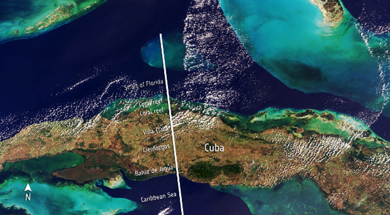
Other measurements were taken in places ranging from Cuba to Kyrgyzstan, and the results will be shown off at a meeting in Dresden, Germany, in mid-March.
The CryoSat satellite that is up there now is actually named CryoSat-2. It went up in 2010, after a launch failure claimed the original satellite in 2005.