A city without public transit: congested, isolated

You don't know what you've got until it's gone.
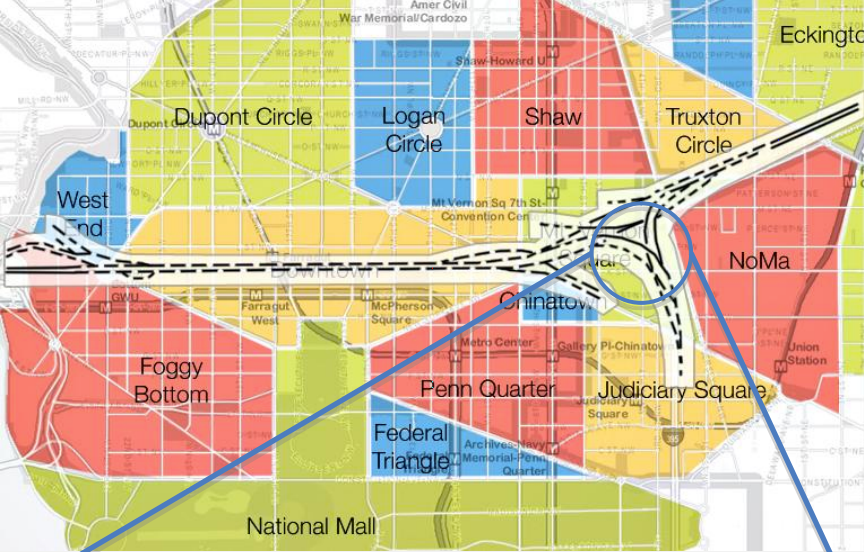
For the 35th anniversary of the Washington Metropolitan Area Transit Authority, officials decided to show region residents just how much public transportation affects their lives -- by imagining the city of Washington, D.C. without it.
That's right: no regional rail, no subway system, no buses. Nada.
What would happen if you only had roads and highways to get around? Would you travel farther to live your life?
Quite the opposite, it turns out. A loss of public transit infrastructure would lead to a rise in congestion -- so bad that people would actually look inward, eschewing a ride in the car for a walk to find the things they need.
The full study is here (.pdf), and it's fascinating. (Emily Badger sums up the effects nicely over at The Atlantic: "People weren’t crossing county lines -- or even rivers -- to get anywhere.")
To be fair, a second scenario was also studied, in which new roads were added to compensate for the loss of all that public transit. Despite the obvious drawbacks -- roads cutting right through prized parks and neighborhoods in the densest, most populous parts of the city -- the most startling hurdle would be where to put all those cars once they arrived at their destination. Washington, D.C. would require some 166 blocks' worth of five-story parking garages just to handle the traffic.
Could you imagine a similar scenario in New York, Boston, Chicago or San Francisco?
The study is created in self-interest, of course, but the lesson here is that public transit plays a role that roads cannot: serving mobility where density is highest. The argument shouldn't be over cars versus buses or trains -- it should be over what's most appropriate for the density of a given area. A little data could go a long way in identifying where to draw that line.
This post was originally published on Smartplanet.com