How CoPilot for Windows Phone has made me appy again

Way back when, in the early days of the smartphone, there was one app that would always go on my phones: CoPilot's GPS software.
Those early Windows Mobile smartphones were simple beasts, with very little memory, so CoPilot (and all its maps) came on a SD card and hooked up to a Bluetooth GPS dongle over a usually rather dodgy connection.
But it worked, and was much, much cheaper than a specialised hand held GPS unit (also the little Bluetooth widgets looked cool stuck to the dashboard of my car).
CoPilot's Windows Mobile software took me all across the UK, and on my first ventures on American roads. It had excellent routing algorithms, with its own mapping database and a large library of points of interest (and was also at the heart of most truck routing systems). I used it on a whole range of HTC phones, including some of the first hardware to add internal GPS receivers, and to use the cellular network to speed up getting an initial location.
For most people there's one app that's their block on the road to transitioning between platforms, their Instagram, if you will. CoPilot's always been mine. I didn't move to iPhone until it was available there, and it kept various Android devices usable. That meant when I recently switched to Windows Phone and Nokia's Lumia 920 I still kept a SIM-free iPhone 4 in my travel kit, to use as a GPS – purely because it had CoPilot…
That’s not to say that Nokia's own Drive is bad, it's more that it's not what I'm used to. When I'm in a car trying to quickly put in a destination or look up a nearby petrol station, familiarity is key. I know what order things need to go in, what buttons to press, and how to search (and unlike Drive I can search for POIs without having to go online, something that's critical when there's no WiFi and you're suddenly relying on expensive roaming data plans).
ALK Technologies, the folk behind CoPilot, seemed to have left Windows Phone behind. The lack of native access to device capabilities in Windows Phone 7 didn't help encourage them back to their roots. But over the weekend as part of their MWC presence, they announced a change of heart, with versions of CoPilot Live due in the summer for both Windows Phone 8 and Windows 8. Their blog post noted that, "After a relatively slow start with Windows Phone 7, Microsoft's Windows Phone 8 is gaining momentum as an alternative to Android and iOS in the global battle for smartphone supremacy. With some fantastic handsets from the likes of Nokia, HTC and Samsung, an innovative and polished user experience and a robust app store, it's also becoming an ideal platform for CoPilot too."
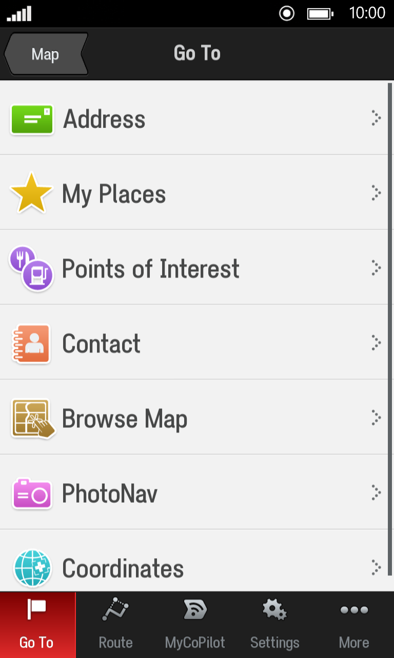
The UI of the new Windows Phone 8 CoPilot Live is familiar, with plenty of at-a-glance detail, and the ability to quickly choose between alternate routings. There’s also support for CoPilot's excellent live traffic information, which can dynamically reroute you away from problems, and keep you informed about possible issues ahead of you on your journey. You'll also be able to buy additional maps online, so you can buy the maps you need as you need them – adding US mapping to a UK map just before you cross the Atlantic.
That's all good news for Windows Phone, with one of the more prominent Windows Mobile developers returning to the fold. It’s a sign of increased momentum (along with the announcement from Kantar that Windows Phone now accounts for six percent of the UK market share, up from 2.4 percent a year ago). It's not the only of my Instagrams to make it to Windows Phone 8: the folk behind the excellent FlightRadar 24 plane tracker recently announced a major new version with support for pilot’s-eye views alongside traditional mapping.