NSW government's Spatial Digital Twin to help with future city mapping

The New South Wales government has launched a Spatial Digital Twin, which Minister for Customer Service Victor Dominello described will transform urban planning and infrastructure across Western Sydney.
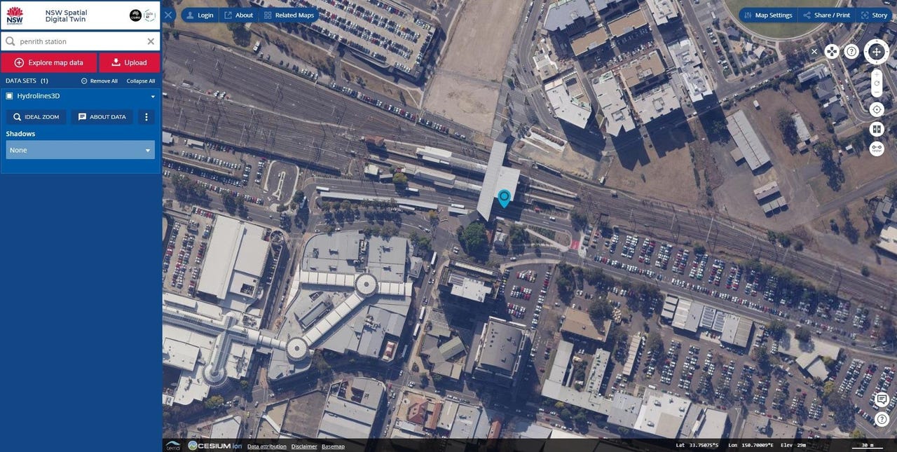
Delivered in partnership with CSIRO's Data61, the NSW Spatial Digital Twin is expected to provide 3D and 4D digital spatial data and models of the built and natural environments.
The Spatial Digital Twin will initially cover the councils of Blue Mountains, Camden, Campbelltown, Fairfield, Hawkesbury, Liverpool, Penrith, and Wollondilly.
The interactive tool includes 22 million trees with height and canopy attributes, almost 20,000km of 3D roads, and 7,000 3D strata plans and 546,206 buildings.
Dominello said there are plans to expand the function right across the state.
"There's no doubt that Western Sydney is the megacity of tomorrow and we need to make sure that we use cutting edge technology today to plan for that city of tomorrow," he said of why the area was chosen for the initial release.
See also: How digital transformation and analytics combine to form a digital twin (TechRepublic)
"No other state is doing this -- other states have got pockets of digital twins, but what they've done is they've kept it inside, the genius behind what we've done here today is open it up to industry, so industry players like Lendlease, councils can use it -- it's a sharing platform so we can build this asset together."
Earlier this year reports emerged of there being nearly 40 homes in a recent Lendlease development in Western Sydney that had become subject to ground settlement issues, including sinking and cracking.
ZDNet asked Dominello if the data available from the Spatial Digital Twin would have prevented near-new homes in Jordan Springs from being repaired.
"What we need to focus on in the 21st Century is digital infrastructure. We are really good at building transport infrastructure for example, the Westconnex, the Northconnex, the CBD metro, the Northwest, the light rail -- these are critical transport infrastructure pieces that are we are building for our great state," Dominello told ZDNet in direct response.
"But in the 21st Century we also need to focus on building digital infrastructure and spatial services have done that. This will help us improve the modelling, help us improve the accuracy of cities and plans as we move into the future."
Appearing beside Dominello to launch the offering was Daryl Patterson from Lendlease, who said his company would look to use digital twins on many of its projects.
"We've started with our development here at Barangaroo … we're really excited about the opportunity to start connecting that to developments in Western Sydney," he said.
"Having access to better data gives you access to better solutions. We can do what we can with what's available, we do a great job, but if we can have very, very accurate information that's very holistic in terms of what we can see, we can create great solutions."
MORE FROM NSW
- NSW government looks 'beyond digital' as part of its customer and digital strategy
- NSW government to scope out urban plans using digital twin platform
- NSW drivers unable to add digital licence as high demand downs app capability
- NSW shifts Opal towards payment platform future with Connect launch
- NSW Data Analytics Centre sets goal to create de-identification data standards
- Developers need to be developing: Service NSW claims shift in tech stack can help
- NSW government launches IDCare Identity Recovery Service