Scaling up on a shoestring while citizen scientists analyse the Great Barrier Reef

Due to the large geographical range of the Great Barrier Reef -- roughly the same size as Italy -- researchers have only collected data regularly from approximately 5-10% of the reef.
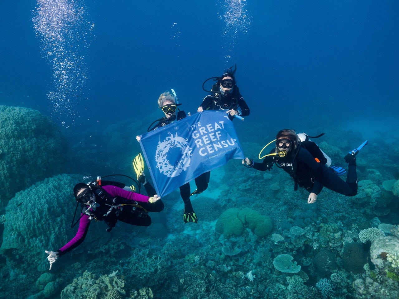
In a bid to ramp up data collection, conservation organisation Citizens of the Great Barrier Reef launched the Great Barrier Reef census project in November.
The project aimed to bring together stakeholders across tourism, including visitors and divers, science, research, and business to assist with capturing large-scale reconnaissance data from across the Great Barrier Reef.
Phase one of the project saw over 14,000 images collected of about 170 reefs -- double than what was originally anticipated -- across 680 different sites from the tip of Cape York to the remote southern Swain Reefs. Of those images, approximately 6,000 were submitted by vessels fitted with a Dell device purpose-built to capture images of the reef.
"If you put [the distance travelled] against the side of the US, it would go from above Seattle to below the border of Mexico. That's the kind of range we're talking about," Citizens of the Great Barrier Reef CEO Andy Ridley told ZDNet.
"We even found a shipwreck up in the north from the 1840s. That kind of gives you an idea of not only how big the place is, but even now you can find a shipwreck that's been there for nearly 200 years."
Must read: How AI and drones are trying to save the Great Barrier Reef (TechRepublic)
Currently, those images are being analysed in real time as part of phase two of the census project. Involved in analysing the images are what the team described as "citizen scientists" -- everyday people from around the globe -- who are playing their part to support conservation and coral recovery.
Users are encouraged to select a reef image and "colour-in" where they see key elements, such as a coral, sand, and rubble.
On average, Citizen receives 1,500 unique visitors a day to its census website, over half from the US, followed by Australia, and then Europe and Asia.
"Through a fairly novel analysis technique, we're asking people to sort of trace around what they see in the image. We give them categories and say, 'Is this coral a reef? Does it look like hard coral or soft coral?' … and we collect polygon data from that," Citizens of the Great Barrier Reef technologist Som Meaden said.
"It helps give us a sense of the makeup of the reef, which is going to help us train a computer vision model to better recognise these types of images.
"Traditional survey imagery is of very close-up one-by-one metre sort of transects. We're trying to utilise seascape imagery that a tourist or somebody else might take and be able to get meaningful data from that. We've essentially baselined against research data, so we have a good sense of what that means."
To date, just over 6,000 analyses have been completed by the public so far, while half of the images uploaded have also been analysed by researchers. The goal is to have all images analysed by the end of April.
"We're relying on the general public to help us analyse all of them multiple times over and hopefully combined, that will give us a very good insight into what the images tell us but also how useful citizen science is in this regard," Meaden said.
"As people analyse an image, we're sort of saying, is this something that's been analysed by research before, and we can really grade the performance. As we increase trust as each people analyse images, we can build up a pretty good profile of who's good at it, who's not, and we can teach them about the reef at the same time."
Sending up a flare
Helping to ensure the census project is always online is Cloudflare's Project Galileo, which was established to help not-for-profit organisations and artistic groups fend of cyber attacks pro bono.
"We're a tiny team … [of] five now. But there's only one technology person, so there's only so much we can do … we can run a project like census and have thousands of people hitting it a day, analysing images, and uploading images, and be extremely confident that we're not going to run into any problems," Meaden said.
Meaden boasted that since March, through Project Galileo, the organisation has seen 360GB of data routed via Argo Tunnel with an average response of 75ms, more than 100 hours of video has been watched via Stream, 17,000 images have been secured and served to census participants through Workers, and multiple security events where there were more than 100 requests were blocked by Firewall.
"It's been a very useful [because] all of this has been done on a very insignificant budget," he said.
Ridley emphasised that running a project like census needs to be scalable, highly efficiently, but it cannot "cost loads of money".
"The endeavour behind citizens is we're trying to build a 21st century conservation organisation, so that requires that shared economy approach of how can you scale without needing billions and billions of dollars," he said.
"Although it's only currently focused on reconnaissance data on reefs, underneath that you're building infrastructure, so you're actually building the capacity to do a lot more things across the Great Barrier Reef.
"In theory, if you can get the model right, which includes the technical architecture as well, you can scale that beyond the Great Barrier Reef."
Citizens of the Great Barrier Reef plans to make the data, methodology, and technology developed through the project open-sourced at the end of the project.
"Much of the world thinks that [the Great Barrier Reef is] already gone but it really hasn't it; it's a patchwork. You get some places that are so extraordinary and beautiful that you don't know whether you should laugh or cry when you come to the surface…. then you get other places that have been hard hit by climate change, by bleaching, by runoffs," Ridley said.
"To be able to get a really broader picture of what's going on and be able to talk about that, it's actually very important because if the world thinks it's gone, there's not much to fight for.
"Obviously, you're trying to look at how you can build resilience in a system, like the Great Barrier Reef, but many of the lessons you learn here can be applied all around the globe. What we're trying to do at Citizens is build stuff that can be scaled and shared around the world."
There are plans to launch a scaled-up census in October to survey at least 200 reefs on the Great Barrier Reef while testing the infrastructure's ability to capture reconnaissance data for another habitat, such as sea grass.
Other plans the organisation has its sights set on include trialling the model on reefs such as Ningaloo along the Western Australia coast or the Coral Triangle, a marine area in the western Pacific Ocean that includes waters of Indonesia, Malaysia, the Philippines, Papua New Guinea, Timor Leste, and Solomon Islands.
The Great Reef census project is being delivered in partnership with the Great Barrier Reef Marine Park Authority, the University of Queensland, and the Australian Institute of Marine Science, with support from James Cook University. The project is funded by the partnership between the Australian government's Reef Trust and the Great Barrier Reef Foundation, the Prior Family Foundation, and the Reef and Rainforest Research Centre.
RELATED COVERAGE
Budget 2020: Keeping Australia at the forefront of weather and climate modelling
The Australian Community Climate and Earth System Simulator quietly picked up AU$7.6 million in funding.
Smart coral reefs: This underwater, fish-spotting AI helps protect the rainforest of the sea
Intel and Accenture deployed artificial coral reefs equipped with AI to help researchers monitor the health of coral reefs.
CSIRO and Microsoft to use AI to tackle man-made environmental problems
Artificial intelligence is one technology the pair will be using to look at challenges such as illegal fishing and plastic waste, and to boost farming in Australia.
IBM using AI to help prevent Australia's beaches from washing away
IBM and KWP are helping to preserve Australia's iconic beaches, implementing artificial intelligence to allow scientists to put their time towards addressing coastal erosion, rather than on mapping it.