Gallery: Satellite images of killer cyclone

The image above shows Myanmar on April 17 before Cyclone Nargis hit while the image below shows the flooding of about 130,000 square miles in the Irriwadi Delta on May 5, after the storm.
Photo credit: NASA/MODIS Rapid Response Team
Photo credit: NASA/MODIS Rapid Response Team
On May 3, 2008, Tropical Cylclone Nargis was directly over Myanmar
The storm was a measured as a Category 2 cyclone over the Bay of Bengal, then diminished to Category 1 storm before gaining steam to Category 3 strength with sustained winds of 120mph when it hit land.
Credit: NASA/Jesse Allen, using data provided by the TRMM science teamCredit: NASA
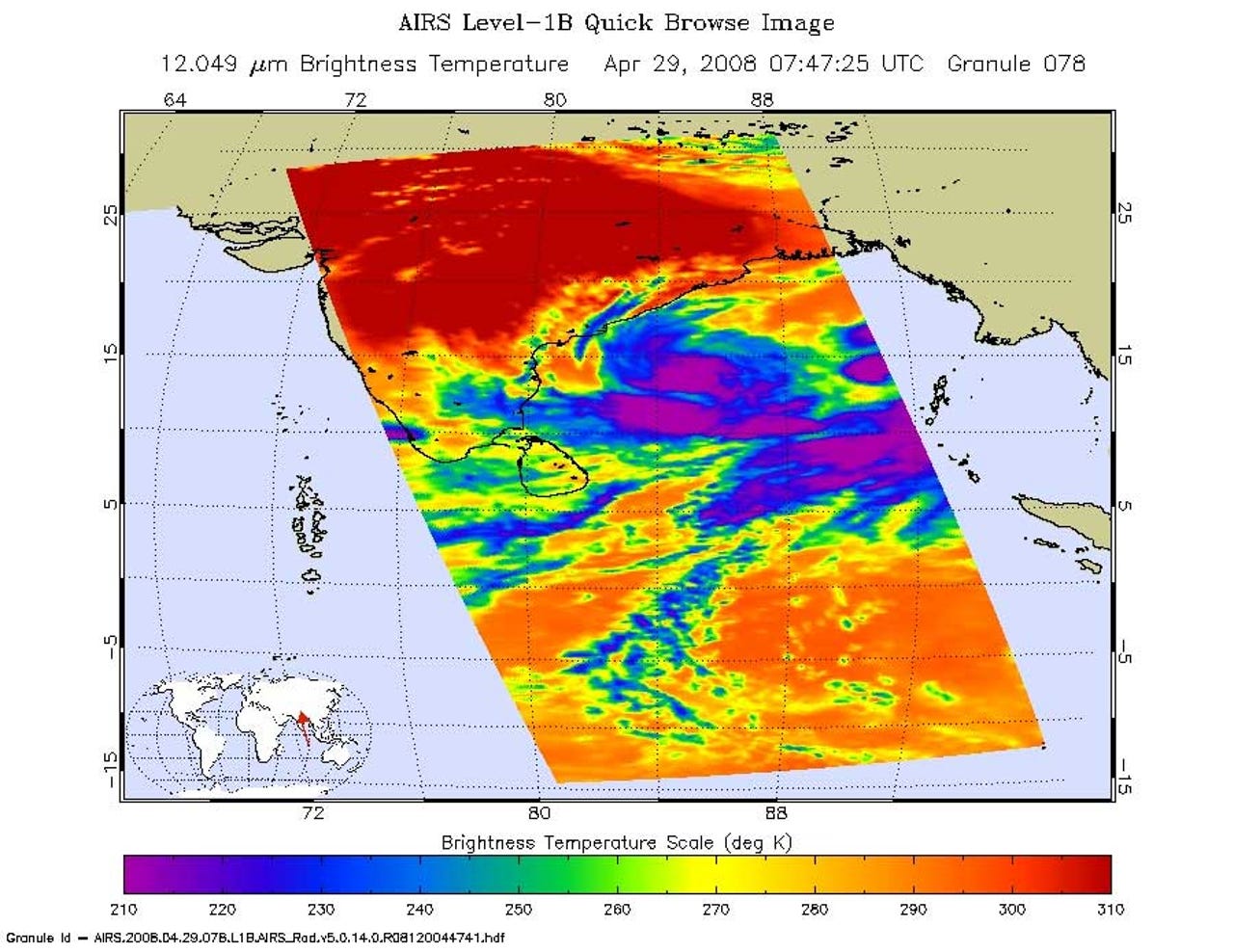
Credit: NASA/JPL
Image: Hal Pierce (SSAI/NASA GSFC)
Credit: Hal Pierce, SSAI/NASA GSFC
Hurricanes and cyclones are basically the same type of storms that contain sustained winds of more than 74mph. They are called hurricanes over the Atlantic, the Northeast Pacific east of the International Dateline, or the South Pacific Ocean; and cyclones over the Indian Ocean.