Finding your way with open source: The European project bringing indoor mapping to the masses

The hospital of Rovereto, a city of 40,000 people in the north east of Italy, is one of the 14 venues across Europe that is taking part in a project called i-Locate, partially funded by the European Commission, to experiment with indoor positioning systems. The venues, which also include museums and local government offices, will be digitally mapped, and an array of different technologies (from wi-fi to Bluetooth) will be used to help identify a person's location within the building and guide them to their desired destinations.
In Rovereto's hospital, even the location of objects inside the building will be tagged using wi-fi and Zigbee, allowing the staff to use their smartphones to find what they need. As well as making their lives easier, it should also help make procurement more efficient.
"In hospitals, some tools like infusion pumps are often hard to find, so they are bought in excess by up to 20 per cent to make it easier for staff to search for them," Gianni Rangoni, president of Trilogis, the company leading the project, told ZDNet. "If they knew where to find the equipment, over-procurement would no longer be necessary, allowing the organisation to save money."
The main technology for locating people in the hospital will be wi-fi even though some Bluetooth beacons will be placed for when more precise positioning is needed. There's additional help for visitors in the form of QR codes located in different parts of the building. When a user scans the code with their smartphone, it allows the system to identify the user's location and then offer directions.
A sophisticated approach
The indoor positioning systems deployed in i-Locate will be ready by next June and, once in place, the scheme will run for one year.
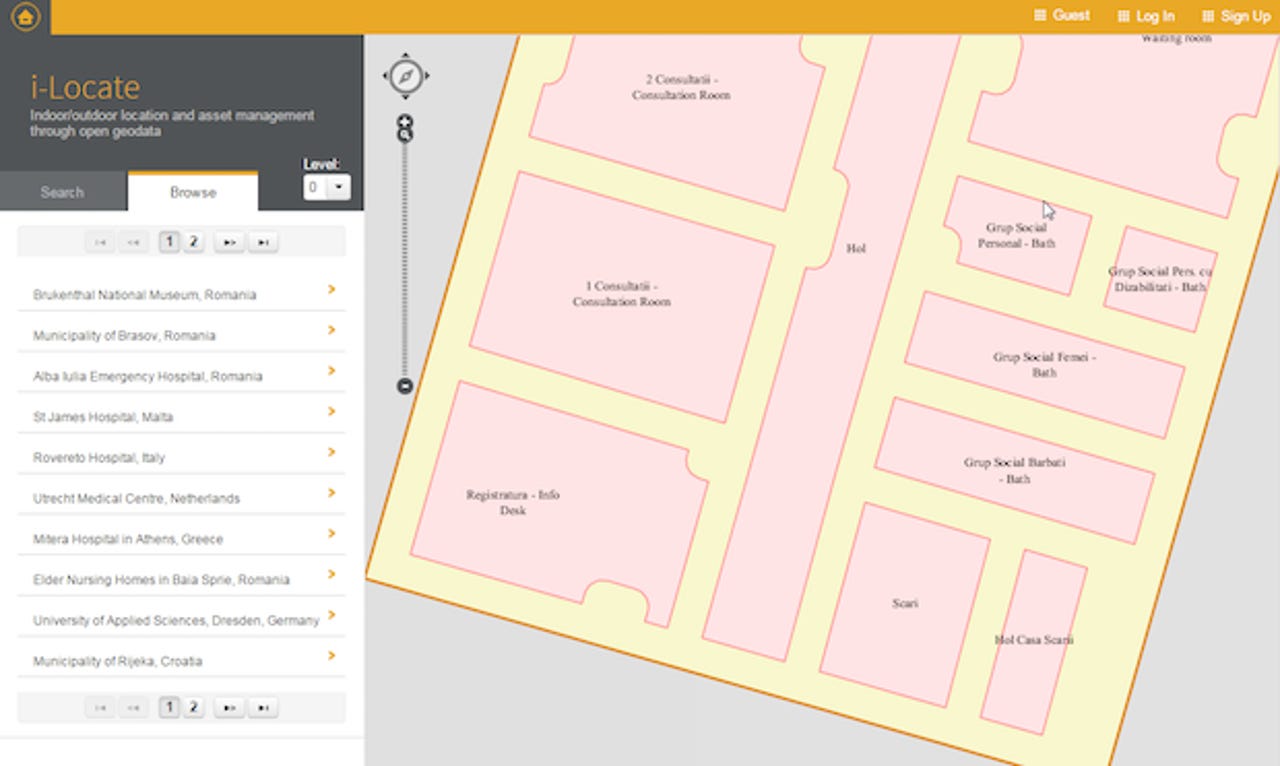
But the initiative's ultimate goal is more ambitious than that, thanks to a free portal that will allow every user to make a custom location map with a degree of detail not available on other online mapping services. "In offers like Google's you can manage the map but you cannot manage the topology of indoor spaces," Giuseppe Conti, Trilogis' CTO, told ZDNet. "With the i-Locate portal you will be able to create different layers of information that, for instance, can adapt the map to different kind of users in order to support personalised navigation systems for wheelchair users, indoor robots, etc."
That means, for instance, that what a shopping mall visitor will see on their device and the directions they'll receive won't be the same as, say, the mall's security guard. The maps might also change on different days and at different times, according to which parts of the building are accessible at any particular moment. At the same time, information about the location might vary according to the user's capabilities, helping improve better customer service.
"An aisle with a step in the middle of it might be a safe and viable route for some people, but should not be available to a person on a wheelchair," Conti added. i-Locate will then allow for the user to make similar distinctions when they're creating their custom maps, thanks to a language called IndoorGML which, the project staff say, will be implemented for the very first time.
In search of a market
The i-Locate project, which has received €2.36m in funding, is an attempt to advance the case for indoor positioning systems. It is a market that, according to recent estimates by Research and Markets, will grow from $903m in 2014 to $4.4bn by 2019, and which the European Commission includes among the sectors to promote in order to stimulate innovation and future growth. According to ABI Research, 2015 might be a key year for the segment thanks in part to the broader availability of technology such as Bluetooth Low Energy.
The prospect of indoor location and guidance has attracted the interest of big names including Google, Apple, Nokia, and Broadcom, which have been mapping venues, offering tools for uploading floor plans, improving the positioning capabilities of their chips, and launching their own technologies.
So far, however, the spread of such indoor position tech has been slowed down by a few factors. One is the lack of a single technology standard for indoor positioning, the equivalent of GPS for outdoors navigation. Another is convincing organisation they need this technology.
"The lack of a compelling use case for customers and business case for companies is by far the biggest obstacle to widespread use," Tony Costa, senior analyst at Forrester Research, told ZDNet. "Early on, it was assumed that solutions such as in-venue wayfinding would be a core use case, but that has not panned out."
More recently the industry's hopes have shifted towards more promising applications, such as in-store experiences and location analytics. "The ability to provide additional product information, context-based offers and recommendations, and value-added services to customers as they shop or move through a venue, are areas of tremendous investment currently," said Costa.
At the same time, he added, shop owners could use indoor location systems to better know their customers' habits, including how frequently they come back to the store, where they go, and how long they spend in specific locations.
In this context i-Locate, whose software will be open source, thinks it can be competitive not only by offering more sophisticated tools than what's available, but also by giving the users more control over the location's information. Their "data is not going to be handed to a private company which can do whatever it wants of them", Rangoni said.
The people behind the project also think that by going open source and using open standards, they can bring extra benefits to users. "Our ambition is to become the indoor complement of [the crowd-sourced mapping data system] Open Street Map, or, even better, merge with it," added Conti.
In this scenario i-Locate might become a layer of Open Street Map (OMS), so that when a user wants to create an indoor map, they can start doing it seamlessly within the existing platform. "We already started discussing this option with the OMS' community," he concluded.
Read more on this story