Microsoft cloud platform visualizes environmental data

Want to find a way to visualize some of that scientific data your company or organization has been collecting?
Microsoft has teamed up with the European Environment Agency (EEA) and geographic information software (GIS) developer Esri to create a cloud service for doing just that. While the cloud platform currently is focused on creating interactive maps and visualizations with European data, it is being pitched as a cloud platform that could be used for other regions of the world.
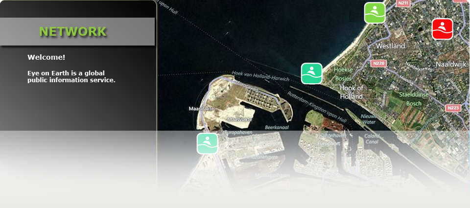
Called Eye on Earth, the network combines the Esri ArcGIS cloud service with Microsoft's Windows Azure and Microsoft SQL Azure to provide a way to transform complex scientific data into interactive maps that provide visual context.
There are already several different services that European citizens can use to research information: WaterWatch, for monitoring the quality ratings across public swimming sites in Europe; AirWatch, which illustrates air quality data; and NoiseWatch, which measures noise levels in 164 European cities. You can actually contribute to NoiseWatch using an application called Noise Meter, which works with Android, iOS and WIndows Phone 7.5 mobile devices.
Eye on Earth actually is a project that has been under development since 2008, so it took the better part of three years to get off the ground. It is based on a public-private partnership, so one of the big goals is openness and data sharing.
Said Jacqueline McGlade, EEA executive director:
"The launch of the Eye on Earth network is a great leap forward in helping organizations provide the public with authoritative data on the environment and in helping citizens around the world better understand some of the most pressing environmental challenges in their local area. With the input of environmental stakeholders globally, we're pleased to see the network expand and become a vital service for those interested in learning more about the environment. Environmental policy makers also have a new tool to understand and visualize environment information to support good environmental policy making."
Because, after all, seeing is believing. Or not.
