NSW Govt opens transport data to Google Maps, developers

Sydney has joined Canberra, Adelaide and some 475 other cities worldwide in allowing people to plan their trips on public transport via Google Maps, in a joint project between Google and the New South Wales Government.
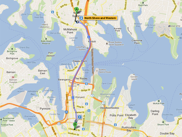
Google Maps
(Screenshot by Josh Taylor/ZDNet)
Although Google's Maps product was originally developed in Sydney, residents living in Australia's biggest city have, until today, not been able to access public transport information through Google Maps when planning their trip.
NSW Transport Minister Gladys Berejiklian said, at Google's headquarters in Sydney this morning, that Transport New South Wales had been working behind the scenes for about a year with Google to modify the transport timetable data to a new format that can be used by Google and other third party developers.
"This is a great step forward. When we came to Government, there wasn't good technology helping people to use public transport, and so we've looked at lots of different opportunities for the NSW Government to share our information with third parties. The data we presented to Google was able to be used by other third parties as well."
She said that the customer experience division within Transport NSW has been tasked with providing updated data to Google on a weekly basis. Google Australia's engineering director Alan Noble said that Google has committed to updating Maps as it receives the data.
"We basically take those feeds and update them as soon as possible," he said.
Berejiklian said that, although commuters are now able to get real-time information on the GPS location of buses via a SMS service, integrating real-time transport data into the data provided to Google will take some time.
"We'll be working with Google and other third parties on getting more updated real-time information up there in the future. For example, if there's delays and things," she said. "Currently, the system tells you what the best way is to get somewhere; it may not pick up delays that are happening then."
"That's our next aim, to provide for that real-time."
Noble said the hard yards had been done to include more data for future updates.
"Now [that] we've got this base layer of public transport information on Maps, it will continue to innovate, update and add new types of information."
Noble said that half of the company's traffic to Google Maps comes from smartphones, but in Apple's next release of iOS, Apple is aiming to replace Google Maps with its own maps application. Berejiklian would not confirm whether the NSW Government had been working with Apple, but said that the data was open to any interested third-party developers, provided they meet some conditions with the government.
"But, obviously, there are conditions," she said. "Another third-party developer wanting to access that data could come and engage with us, and if we thought it was an appropriate partnership, we'd be happy to provide them with that information as well."