Let's take this offline: Google Maps for Android gets a revamp

In a boon to those about to head off for their summer holidays, Google is to make it possible for people to use its mobile Maps app without a cellular data connection.
Google Maps already had this feature, at least on Android, as a Labs add-on. However, that required a tricky procedure whereby the user had to select a centre point around which a limited area would be pre-cached. On Wednesday the company said it was making the offline capability official and easier to use.
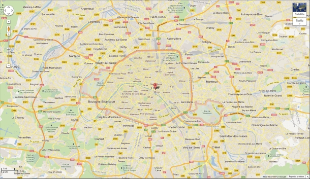
People will now be able to use Google Maps offline on their mobiles. Image credit: Google
The announcement also contained several other updates for the mapping app. For those who want to use Google Maps while hiking, Google is to send 'Street View Trekkers' to photograph wilderness areas that can only be accessed by foot.
The company is also extending its Map Maker feedback-and-corrections service to South Africa and Egypt, with Australia, Austria, Belgium, Denmark, Finland, Liechtenstein, Luxembourg, New Zealand, Norway and Switzerland all set to get access in the next few weeks.
The moves come as a rival system, OpenStreetMap, continues to gain traction, partly through its use by Apple. OpenStreetMap is, as the name suggests, open source, and it has always been built on user contributions and edits.
On Wednesday Google also announced an update to its Google Earth virtual globe. While it has been possible for the last six years to create 3D models of specific buildings, the company will soon add entire metropolitan areas in three dimensions, as demonstrated in a video.
"This is possible thanks to a combination of our new imagery rendering techniques and computer vision that let us automatically create 3D cityscapes, complete with buildings, terrain and even landscaping, from 45-degree aerial imagery," McClendon wrote. "By the end of the year we aim to have 3D coverage for metropolitan areas with a combined population of 300 million people."