Murdoch University scientists develop grid-system drone technique to survey dugongs

A team of Australian scientists have used small drones as part of a novel survey approach for looking at possible methods that could be used to make marine conservation more accessible, affordable, and reliable.
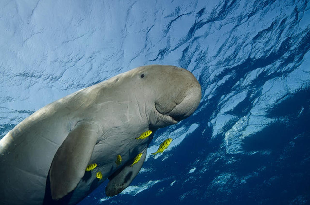
In undertaking the research, scientists at Murdoch University's Harry Butler Institute launched small multirotor drones from a boat off the Pilbara in Western Australia to record and categorise marine sightings of dugongs during three field seasons over two years.
The drones were flown in small grids, rather than a typical horizontal flight path. Murdoch University research fellow Christophe Cleguer said this technique helped overcome the usual constraints of using small drones for marine surveys, such as short flight endurance and aviation regulation.
"We looked at normal aerial survey methods and designs -- which are based on using planes flying over large areas -- and adapted it to small drones that are limited in range and endurance," he said.
"Instead of using a horizontal flight path consisting of long parallel lines up and down the entire survey area, we tested a grid-based system where you could survey one or more grid cells at a time using smaller drones.
"The technique required minimal movement since you only needed to anchor the boat at the intersection of the grid, while keeping the drone in visual line of sight from the boat."
Cleguer continued, saying the grid system is also a more affordable operation to run.
"Using our grid system, we can now survey areas very intensely and very accurately and it's a cheap operation. So, you can afford to re-survey an area several times to understand how a species' distribution and abundance changes over time, despite the time of day, tide, or season," he said.
Over the survey period, a total of 240 flights were conducted with up to 17 flights conducted covering up to 11.36 square kilometres per day, and 149 dugong sightings were recorded.
Using the aerial imagery that was captured, the data has also been used to correct "imperfect detection" of previous animal sightings in the area, Cleguer said.
Murdoch University research fellow Amanda Hodgson believes the method can be used to survey other remote locations and its fauna.
"The method we've developed provides solutions for real-world applications because of its feasibility, ease of implementation, and achievable surface coverage. You can use it to track any marine megafauna that can be seen at the surface, or indeed, terrestrial animals in a range of environments," she said.
"Importantly, it has potential to be used in a wide range of applications, from community-based local-scale surveys to long-term repeated/intensive surveys, and impact assessments and environmental monitoring studies."
The study has been published in Frontiers in Marine Science.
Related Coverage
- Eden deploys drone technology to help plant one tree at a time
- AU$8m fleet of shark-spotting drones and drumlines for the NSW coastline
- CSIRO's Data61 alumni Emesent is flying drones beyond line-of-sight
- CSIRO and Microsoft to use AI to tackle man-made environmental problems
- WWF-Indonesia using machine learning to save critically endangered orangutans