Plot your Google Earth progress on your UMPC

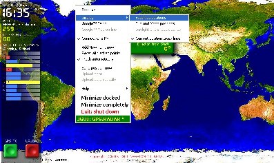
I have been on a few business trips lately and the only PC device I have brought along for work was my Samsung Q1 UMPC and it has worked well. One primary function the Q1 performed on my last three trips was a mobile in-car GPS navigation device. I paired the Q1 with a Nokia Bluetooth GPS receiver and ran Microsoft Streets & Trips 2006. Without this system I would have been lost and then spent time trying to find someone who knew their way around, which isn't as easy as it used to be when I was a kid. I received an email from Steve and later saw the details posted on UMPC Buzz for GPS Radar UMPC Edition. GPS Radar allows you to use Google Earth to track your progress when paired with a GPS receiver and does lots of other cool things like generate Google Earth track files and generate XML reports. The software is in beta and is free until November for you to try out.
While this looks very cool and I'll probably try it out on my Q1, what happens when you are traveling outside the range of any data connection? I wonder how fast this works through a 1xRTT or GPRS data signal that you see when you leave the highly populated areas. One reason I went with Streets and Trips is so that I can plan my route while on the airplane or anywhere I may be without having to worry about a data connection. I do use Google Maps on my mobile devices, but again I need to be in an area where there is a wireless data signal to navigate. These solutions will work well when the entire U.S. is covered by wireless carriers, but until that time I recommend you have an offline solution available when traveling to new areas.