QUT researchers ramp up koala conservation efforts with AI hub

Researchers from the Queensland University of Technology (QUT) have established an AI hub to expand the use of drones and infrared imaging as part of efforts to ramp up conversation work around protecting endangered animals, such as koalas.
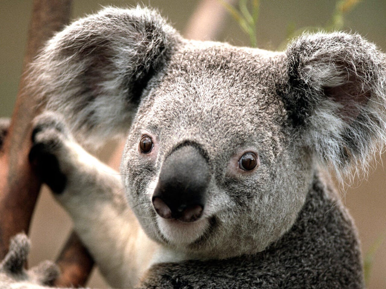
Last year, QUT researchers recognised that using AI-enabled infrared drones could help accurately identify koala populations located in bushfire affected areas and dense bushland.
Research lead Grant Hamilton said establishing the AI Hub would now allow the team to build out the system and work with local conversation groups and organisations, such as Landcare, that can assist with using the drones and thermal imaging detection to survey bushfire affected areas for koalas, before transmitting the raw data back to the QUT hub for analysing.
"This system will allow Landcare groups, conservation groups, organisations working on protecting and monitoring species to survey large areas in their regions, anywhere in Australia, with the use of drones and thermal imaging detection, and send the data back to us where we can process it. It's citizen science on a much bigger scale," he said, describing it as a "game changer".
Hamilton added that one the biggest highlight of the system was the inbuilt connection that exists between the on-ground monitoring system and the backend of QUT's data portal. Previously, the team had to rely on data that was stored on physical hard drives and delivered via post, but now the data can be uploaded from anywhere and processed immediately.
"Creating a widespread network for effective data collection and rapid analysis will allow us to manage threatened species at scales that have not been possible before now," he said.
The system will first be trialled with Noosa and District Landcare, and Watergum, who will carry out drone surveys to create a census of koalas and other endangered species in the area.
"This system will allow for targeted on-ground activities to achieve management outcomes for koalas and other wildlife in bushfire affected areas, effectively and efficiently increasing resilience of these areas. And it can also be used to identify pest species for management in these areas," Hamilton said.
Their plans are to eventually expand the system to other community groups across the country, QUT said.
Related Coverage
- Murdoch University scientists develop grid-system drone technique to survey dugongs
- Scaling up on a shoestring while citizen scientists analyse the Great Barrier Reef
- Australia's Ceres Tag converting livestock into IoT devices
- Wildlife Watch and the Black Mambas: Using smartphones and video streams to protect animals