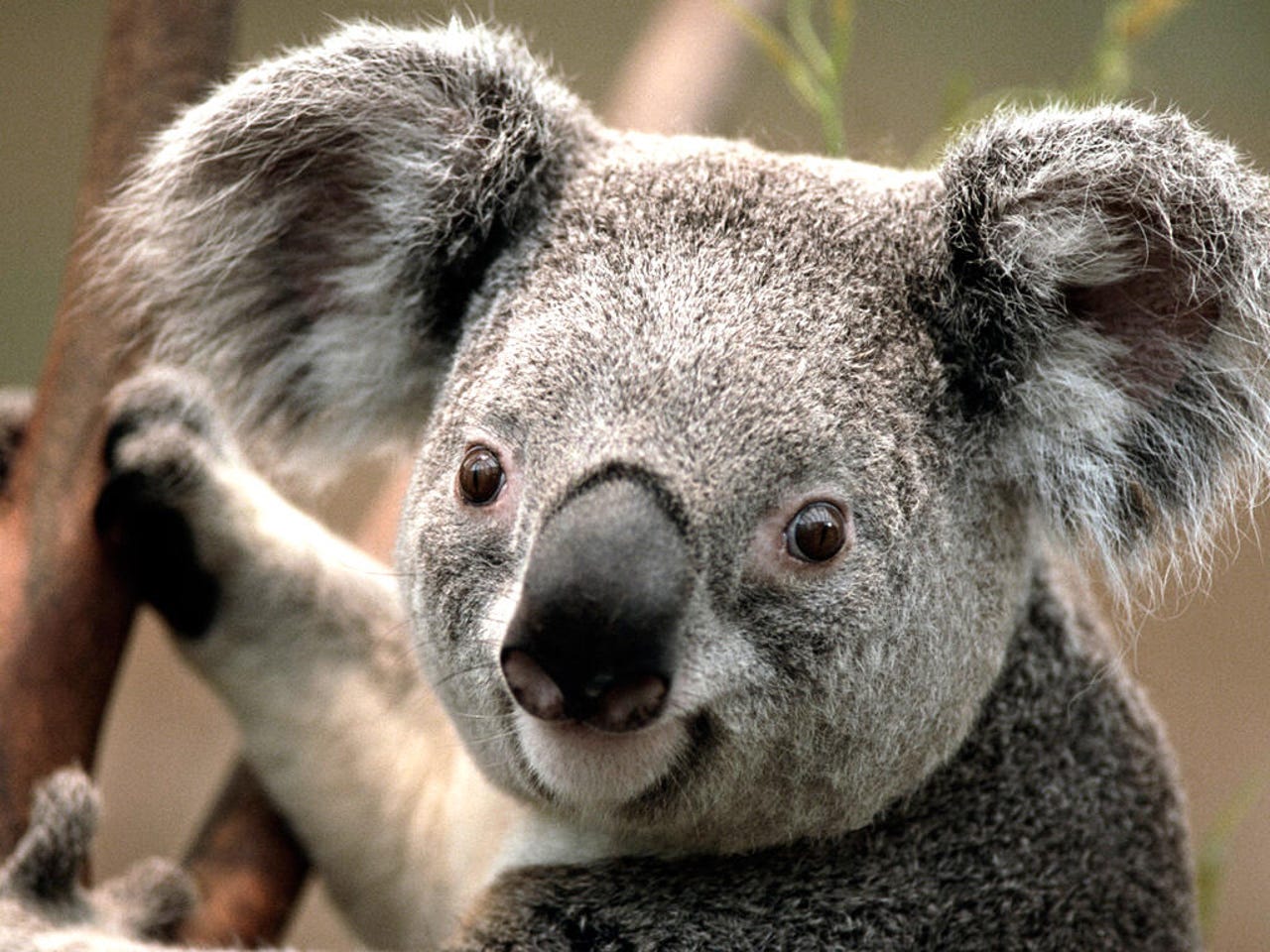
QUT researchers using AI-enabled drones to identify koalas in bushfire affected areas


Researchers from the Queensland University of Technology (QUT) have identified how using AI-enabled infrared drones can help provide more accurate estimates about the number of surviving koalas in bushfire affected areas.
The new modelling method has been published in the journal Ecology and Evolution and builds on previous research that was published in the natural journal Scientific Reports.
At the time, the research showed that using drones and infrared imaging was more reliable and less invasive than traditional animal population monitoring techniques, such as having people look up at trees or bringing dogs in to sniff out koalas.
Speaking to ZDNet, research lead Grant Hamilton explained how this latest method takes into account that there are certain challenges faced when trying to detect koalas in dense bushland.
"When you talk about detections, we're talking about finding out everything you can spot in an area, but we may not be able to see things and that's partly because we're looking in the canopy; maybe [the koala] is under a branch, or sometimes we spot something twice because the drone flies to and fro," he said.
"When we say we're getting high accuracy in detection, we are, but that is if things are available to detect. What this [method] does is say 'We know there might be some issues there because the canopy is a bit thick, or it might be a bit warm so there were a few false detections'. What this modelling does is take into account those different kinds of factors and make it much more accurate."
Hamilton explained how using drones and AI to detect koalas was an "obvious combo", but also acknowledged that it's "quite difficult" to do.
"The thing is it's really hard to see koalas on the ground and even expert observers can only see around 70% of koalas in an area … even though it's difficult to use the drones and infrared imagery. We trained and trained an algorithm until it got better than humans," he said.
"Now, we've got a couple of those great advantages, which is drones can fly really fast. We can cover 50 hectares or more in a couple of hours, and we can detect koalas in those 50 hectares and get really good and accurate abundance estimates as well."
Looking ahead, Hamilton said the plan would be to further develop the algorithm so it can be used to effectively detect other animal populations, such as wild dogs -- which are threats to the koala population -- and greater gliders.
"Koalas are under threat and this is not just some vague, hand-wavy things that are vulnerable. It's been estimated that they can be driven to extinction within our lifetime. That's horrendous," Hamilton said.
"One of the major problems is we don't know how many are out there … and if you don't know how many are there, then you don't know what you've got to do ... so for me, this is absolutely vital work to be able to get broad scale, accurate estimates."
Related Coverage
- Bushfire Recovery Victoria tapping into data to help bushfire-affected communities
- AU$8m fleet of shark-spotting drones and drumlines for the NSW coastline
- Queensland designs heat mapping tool to prepare for the next natural disaster
- Facebook Disaster Maps data plays a part in tackling Australia's bushfires
- Swoop Aero remotely piloting drones with critical medical supplies for African villages