Mission critical: How to map a forest

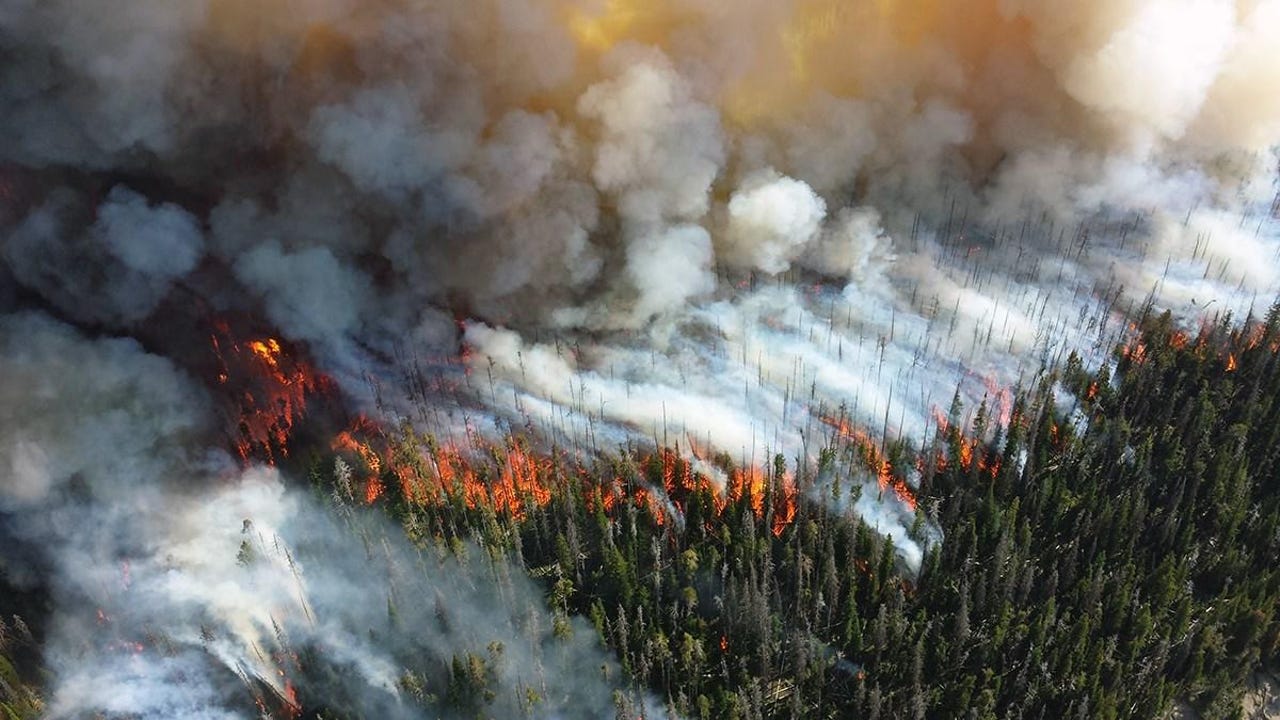
It's wild fire season in the West, and protecting the region's forests is an urgent priority. LiDAR may soon play an important role.
That's because forest mapping is vital for forest management and ecosystem maintenance yet it has long been difficult to achieve and mostly done manually. Drawing on its established LiDAR expertise in other industries, spatial intelligence company Outsight has launched a new solution that utilizes LiDAR to automatically generate a 360° 3D map of a forest in real time and also allows on-site operators to collect data on each tree and digitally tag them, day or night.
"With Outsight, we're able to complete our surveys of the forest three times faster", says Philippe Nolet, forestry professor at Université du Québec en Outaouais in Gatineau, Canada, where he conducts forestry monitoring research. "Then, when we're back in the office, we have a detailed inventory of the plot with all our notes automatically tagged to each tree, saving us a huge amount of time."
The LiDAR solution is based on an easy-to-carry box that integrates the dedicated software. Using a tablet, users can collect data on the forest and each tree, individually and exhaustively, observations like exact position, characteristics, species, and presence of insects. Back at the office, they have access to a detailed inventory of the plot with all their notes automatically tagged to each tree. GPS geolocation allows operators to overlap maps.
Equipped with this data, operators can arrive at data-driven forestry management tactics, including in the run-up to wildfire seasons. Because forestry management budgets are often minuscule compared to the task of managing vast plots of forest land, the ability to make confident decisions helps extend resources.
Outsight's solution is already being used by Hong Kong-based Insight Robotics, a leader in the Forestry Risk Management sector. Insight uses the LiDAR system to complete aerial surveys to better manage forests and plantations. It can also monitor the reactions of the forest ecosystem to climate change, biodiversity, deforestation, dead trees, and potentially prevent the spread of disease in trees.