New Google Maps tools make navigating Sydney's stations easier

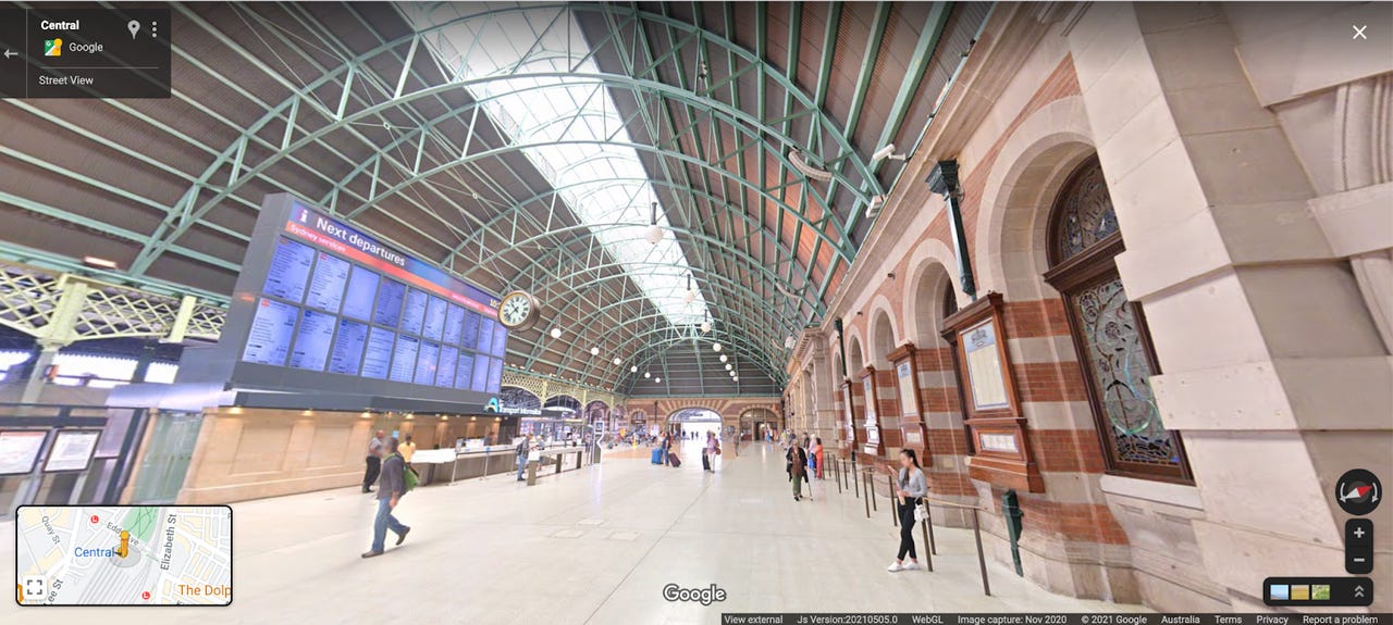
Street View imagery of Central Station
Google and Transport for New South Wales have teamed up to launch new features on Google Maps to make navigating through Sydney's 130 train and dozen metro stations easier.
One of the new features is indoor Street View imagery that will allow commuters to virtually navigate interactive, panoramic imagery inside Sydney stations.
Detailed navigation instructions have also been introduced for 70 train and metro stations to Google Maps. These stations include Central, Wynyard, Mount Druitt, Town Hall, Parramatta, Liverpool, Circular Quay, Hornsby, Penrith, St Leonards, and Epping. The instructions have been designed to enable commuters to find the best and most accessible entrances, exits, signage, paths within the station, and allow them to better anticipate in-transit travel times, Google said.
These navigation directions are accessible on Google Maps desktop and mobile. Users can type their destination into Google Maps and tap "directions", then select the public transport icon and any route options, such as wheelchair accessible, fewer transfers, and less walking. After a user chooses their route, the detail navigation instructions will be displayed.
"Whether you're traveling with a wheelchair, pram, and luggage, or navigating an unfamiliar or complex journey, we hope these rich, accessible navigation tools help people plan and travel with more ease and confidence," Google Australia product management director Ramesh Nagarajan said.
Google added the navigation directions will be published on its Open Data Portal to allow app developers and the transport sector to access the information.
"This initiative is fantastic news for commuters. Finding your way around a busy station can be stressful, especially when you are pressed for time. It is great to see Google rolling out these helpful navigation tools today to help commuters plan and navigate their journeys -- both in advance and when they are inside the station," NSW Minister for Transport Andrew Constance said.
As for whether there are plans to expand the initiative to other parts of the country, Nagarajan told ZDNet Google it is open to working with other transport authorities.
"We welcome expressions of interest from transport authorities in areas with complex stations," he said. "We're always looking to improve coverage on Maps and make it more accessible to Aussies."
These latest updates come off the back of introducing wheelchair accessibility information to Google Maps last year, enabling users to see wheelchair accessibility information right away instead of having to tap into a location's details by turning on the "accessible places" feature.