Google updates Street View to capture majority of all UK roads

210,000 miles of roads join the street-level mapping service
One year after its UK launch, Google's Street View service has been extended to cover almost all UK roads.
On Thursday the street-level mapping service added a further 210,000 miles of UK roads to its image bank, meaning Street View now covers approximately 238,000 miles of roads nationwide.
Google Street View first came to the UK highways in 2009, launching last March with images covering 25 cities.
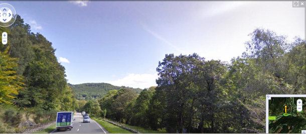
The picturesque town of Betws-y-Coed in Snowdonia, North Wales is now featured on Street View
(Screenshot: Google Street View)
According to a survey by YouGov last month, nearly two-thirds of Street View users turn to the service to get directions (60 per cent), while one in five have used it for house hunting (21 per cent).
Today's expansion of Street View follows the addition of a number of British landmarks to the service earlier this year.
Google and VisitBritain asked the UK to vote on which tourist landmarks it would like added to the Street View service. The Street View trike then trawled the UK over the summer to take images of the seven attractions picked by the public, including Stonehenge and the Angel of the North.
Before its UK debut, the service raised concerns around privacy with critics claiming it would be too intrusive. Google, which uses technology to blur the faces of people and cars' licence plates appearing on Street View, said people would get used to the service over time and it was subsequently given the all clear by the UK privacy watchdog in July 2008.
Landmarks such as Stonehenge entered the Street View image bank late last year
(Screenshot: Google Street View)