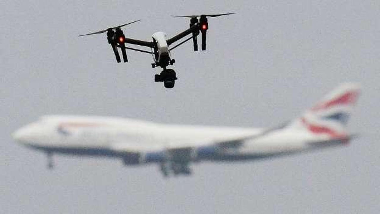
How's my flying? AR "license plates" for drones let bystanders ID pesky pilots


In the battle between commercial truck drivers and kamikaze civilians on U.S. highways, the civilians have a handy weapon. In many fleets, there's a 1-800 number on the rear flank of commercial trucks, along with a unique ID. For many a soccer mom or dojo dad, that "How's my driving?" hotline is the ultimate equalizer.
Pretty soon, drones may have something similar. That's thanks to a collaboration between Santa Monica-based aerospace company AirMap, Google Wing, and Kittyhawk.io, who are demonstrating a remote ID application for commercial drones, one that could be available to civilians via an AR app.
Read this
"Before such wide-scale drone operations as autonomous deliveries can take place, we need to ensure that regulators – and the public – can easily assess whether or not a particular drone belongs to a good actor or requires intervention," explains Ben Marcus, Co-Founder and Chairman of AirMap. "Network-based remote identification applications like AirMap's Drone Aware, augmented by local broadcast solutions when available, help airspace managers enforce aviation regulations while cultivating public trust in drone and also protecting the privacy of drone operators."
AirMap's identification solution integrates with the Low Altitude Authorization and Notification Capability (LAANC), an ongoing collaboration between FAA and Industry that's supposed to act as a sort of air traffic control for commercial drones. The remote ID application is also integrated with the InterUSS Platform, an open API used for separate USSs to communicate with each other during drone operations.
Delivery drones are taking off in Europe and around the world. While adoption has been far slower in the U.S. due to strict beyond visual line of sight restrictions placed by the FAA, the age of the commercial drone is nigh.
A large part of the challenge moving ahead with commercial drone operations over populated areas concerns transparency and accountability. It can be disconcerting to see an unmanned vehicle whiz overhead. Enforcement from the ground will also require the ability to identify drones in the sky, much like a police officer or well-placed CCTV camera can log a car's license plate.
In a recent demonstration, bystanders were able to identify the drones flying overhead quickly and easily, demonstrating the efficacy of the network-based ID solution. They simply pointed a smartphone towards the drone to capture its exact location, identity, and telemetry, all in real-time.