NASA's Mars helicopter just made a short but important flight

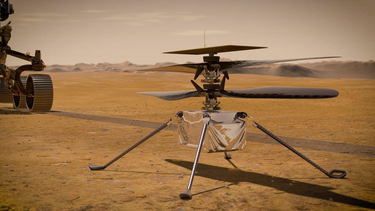
NASA engineers have taken its Mars Ingenuity helicopter on an 18-second flight — literally up and down again — to test out its new hazard avoidance camera feature and digital elevation maps.
Flight 34 was the first time NASA has tested the new software, which should help the vehicle avoid damage when landing in future after tours of the Red Planet.
"Despite the flight's simple nature, the team is very excited because of what it means for the future of Ingenuity," NASA said.
Space
Ingenuity wasn't built for Mars' rough and uneven terrain but rather for neat surfaces like the Wright Brothers Field – the large, flat and rock-free site on Mars that NASA chose as Ingenuity's Martian airfield. NASA, appropriately, named the airfield after US aviation pioneers, the Wright brothers, after Ingenuity's inaugural Mars flight last year.
Also: NASA kicks off UFO study with 16-member team
The newly installed software update should help Ingenuity handle less forgiving landing conditions as it continues exploring the rocky Jezero Crater. The two key features of the update are hazard avoidance when landing and digital elevation maps for navigation.
"Jezero Crater is a rocky place, so safe airfields have been tough to find! Using Ingenuity's downward-facing navigation camera, this software update adds hazard avoidance on landing," explains Joshua Anderson, Ingenuity Mars Helicopter Operations Lead at NASA's Jet Propulsion Laboratory.
The digital elevation maps update are really important for Ingenuity because it corrects an assumption that it's flying over flat surfaces. The elevation maps will also allow NASA to select from a larger range of small airfields rather than being forced to find rarer large airfields.
"While in flight, Ingenuity will identify the safest visible landing site. When preparing to land, Ingenuity will then divert over to this selected site. This capability allows Ingenuity to safely land in rockier terrain than before, providing our pilots with many more potential landing sites," notes Anderson.
As Anderson explains, Ingenuity's navigation software was designed to "assume it was flying over flat terrain", so when it flies over hills, the navigation software thinks the vehicle is veering, which causes it to actually veer to counter the error.
"Over long flights, navigation errors caused by rough terrain must be accounted for, requiring the team to select large airfields," notes Anderson.
"This new software update corrects this flat-ground assumption by using digital elevation maps of Jezero Crater to help the navigation software distinguish between changes in terrain and vehicle movement. This increases Ingenuity's accuracy, allowing the pilots to target smaller airfields going forward."