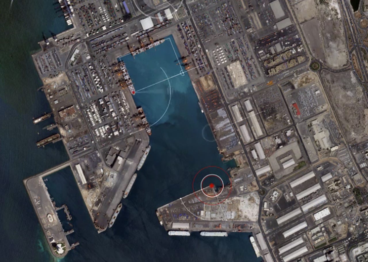
US lifts satellite imaging restrictions, clears the path for razor-sharp maps


The US government has lifted restrictions on satellite imagery and detail, potentially paving the way for higher-quality imagery used in services including Google Maps and Bing.
As reported by the BBC, the ruling means satellite imagery can now capture images where features as small as 50cm are allowed to be used commercially. Previously, it was illegal for businesses to capture and use images below this threshold -- as objects smaller than 50cm were required to be pixelated if viewed at all.
The decision paves the way for companies such as Google and Microsoft to make use of higher-quality images through satellites, which is cheaper than using low-flying aircraft to capture such detail. If utilized, this could improve the quality of services such as Google Maps, but it also could cause concern for those worried about their privacy.
One company, Digital Globe, told the publication that it would be able to sell images showing features as small as 31cm, and the firm plans to launch new satellites to take advantage of the change in legislation. The US Department of Commerce lifted the restrictions thanks to the company, which applied to have the law changed.
Digital Globe's CEO commented:
"We are very pleased and appreciative that the US Department of Commerce has made this forward-leaning change to our nation's policy that will fuel innovation, create new high-tech jobs, and advance the nation's commanding lead in this strategically important industry."
The news comes ahead of Digital Globe's planned launch of the Worldview-3 satellite, which is designed to show "key features such as manholes and mailboxes" at 30-60cm resolution. Currently, online mapping services tend to show features from one or two meters, which details individual cars and streets.
Marc Dautlich, lawyer at Pinsent Masons, said that there was likely to be "repercussions" from consumers concerned about their privacy, and problems concerning national security may also be thrown into the mix.
Google recently announced the purchase of Skybox, a satellite imaging company, for $500 million. Google said the acquisition was made in order to improve Internet access in remote areas, as well as eventually assist in disaster relief. However, once Skybox has launched its full fleet of 24 satellites in 2018, high-quality images of the earth will be captured up to three times a day. With restrictions lifted, this could completely overhaul the quality and accuracy of Google Maps.
Google has also recently acquired Titan Aerospace, a firm which makes high-flying, high-altitude solar atmospheric satellites.