Dash cam data solves a big infrastructure problem

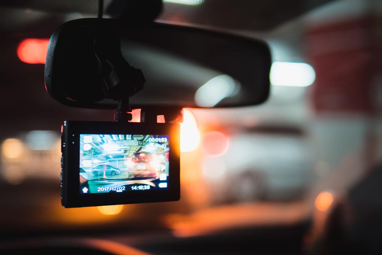
Those painted road markings on highways don't seem like much, but study after study shows that they save many lives. Keeping track of faded lane dividers, potholes, and other hazards on America's 4 million miles of roads is a tall task. Still, the data already exists -- being recorded every day by dash cams.
That's the premise behind a new collaboration between Nexar, whose popular dash cams are in hundreds of thousands of cars covering millions of miles of roads a day, and Blyncsy, a movement and data intelligence company headquartered in Salt Lake City, Utah. Blyncsy will ingest billions of images collected by Nexar's popular dash cams to support pilot programs for the New Mexico Department of Transportation, CalTrans, Utah, and other departments nationwide.
"We know that machine learning is only as strong as the data it depends on," says Mark Pittman, CEO and founder of Blyncsy. "With this partnership, we're giving government agencies a magnifying glass for their infrastructure, plus the power of continuous pattern analysis and predictive analytics. We're excited to see how this combination can impact public servants, communities, and people everywhere."
According to federal data, half of the fatalities on America's roadways result when motorists leave their travel lanes, making this a problem of enormous consequence. Asphalt pavement markings are a huge factor in reducing lane departure incidents, but DOTs have trouble determining where and when markings need to be upgraded with any reliability. With over four million miles of highway in the U.S., potholes are similarly difficult for DOTs to find and fix in a timely manner reliably.
Through the power of AI, billions of images collected by the dash cams may help. The images are mapped, contextualized, analyzed, and can be presented to state DOTs on a dashboard showing them in real-time where repairs are needed.
"We are proud to partner with Blyncsy using our combined AI smart technology to improve our roads," says Eran Shir, CEO and co-founder of Nexar. "With many cities investing in expensive lidar technologies to monitor their streets and roads, or human surveyors, the crowdsourced vision data from Nexar 'sees' the world at eye-level just like we do and provides superior insights at a fraction of the cost. Pavement monitoring is just one example of Nexar's value, while other cities and businesses are using the data to monitor and understand curb use, real estate trends, pedestrian traffic, construction, and more. Nexar creates a platform that other companies can run their AI on and, in some cases, applies its own AI, such as work zone detections in the Las Vegas Valley."