UPDATE:Thursday Aug. 26, 11 AM PT: The U.S. National Hurricane Center has some good news as winds created by Hurricane Irene have dropped to an average of 100mph with gusts up to 155mph. The hurricane has dropped to a Category 2 hurricane as it is expected to hit or pass near the North Carolina Coast on Saturday. It's located about 300 miles from Cape Hatteras North Carolina and moving at 14mph. It is expected to turn north or northeast Saturday. Category 5 is the most severe. (Katrina averaged winds of 175mph over the Gulf of Mexico and reportedly 125mph when it hit land).
One of the real dangers of hurricanes is the raise in the water level. The water level along the North Carolina coast is expected to raise between 6 and 11 feet.
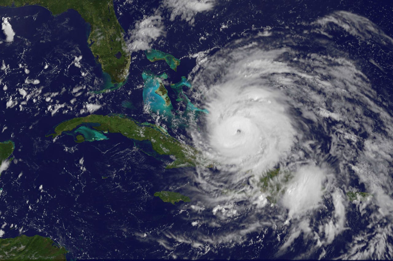
In this gallery, we'll take a look at how Hurricane Irene looks from space, on maps, and on land, too.
This is an infrared image of Hurricane Irene taken by the GOES satellite.
Credit: NOAA