NSW National Parks and Wildlife deploy drones in post-bushfire recovery

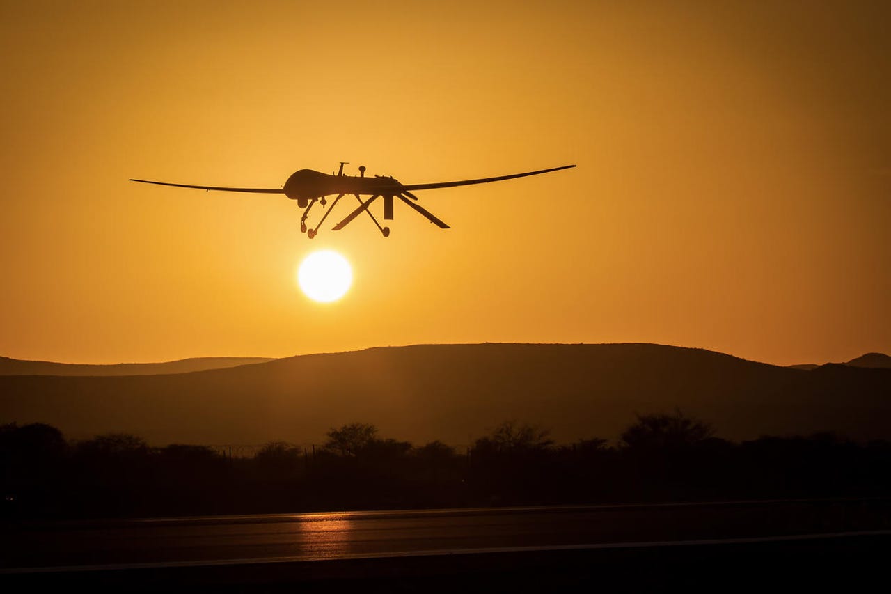
Following the devastating Black Summer bushfires, New South Wales National Parks and Wildlife has been using drones to assist with post-fire recovery.
Speaking as part of the digital DroneDeploy Conference this week, NSW National Parks and Wildlife chief remote pilot Gareth Pickford explained that using drones to assist various stakeholders within the NSW government to assess the damage caused by bushfires last summer is a cost-effective and efficient way to collect data.
"The types of data that we actually were planning on getting out in the field was around fire severity areas that were affected by fires, not just in local parks that are open to tourism, but also wilderness areas, which are natural habitats to certain species that may have been affected by fire," he said.
"We wanted to understand how much they were going to be affected by the fire, and its post-effects."
Some of the specific activities that the drones were used for included ecology assessments, which are live snapshots and maps of different terrains across the state; multispectral mapping to examine the types of vegetation that either survived or were destroyed; archeological analysis of historical sites; and evening thermal scanning to assess the animal population in certain areas, particularly in remaining vegetation patches.
"A lot of the terrain is very dangerous; a lot of trees are still falling over, as the winds and the storms move through a lot of hollowed-out trees … so, what we would do is take footage of certain areas to illustrate to people and our stakeholders of what that terrain looks like," he said.
Read more: How drones are steadily advancing Australia's environmental industry (TechRepublic)
The drones have also been used to collect data for pest control purposes following the fires.
"A lot of feral animals will come out and start destroying the regrowth ability in certain vegetated areas. For example, wild pigs would come out and destroy the chances of certain forests rehabilitating themselves," Pickford said.
Pickford added that data collected by the drones was used in conjunction with satellite imagery to provide the team with better intelligence.
"The biggest thing against us was time. Because vegetation was growing back, the key was to get out as quickly as possible to identify priority sites so we could get that data point for next time, get an understanding of ecology and species so we can understand the effect," he said.
The recovery program is part of a wider drone operation that spans across the 80 million hectares that make up the state, of which 7 million hectares is national park. In addition to bushfire and fire operations, the 30-pilot drone team operates across a range of other categories such as land management, environmental science, water, marine research, compliance, and enforcement.
Using more advanced drones, alongside other technologies such as remote sensors, data science, and artificial intelligence, was one of the key recommendations handed down as part of the NSW bushfire final report in August.
The report said equipping firefighters with these technologies would help them better understand, model, and predict bushfire behaviour, and respond more quickly.
The final report was the result of an independent inquiry that examined the causes, preparation, and responses to the state's devastating 2019-20 bushfires.
A total of 76 recommendations were made and the state government has accepted them all.
Hansen Yuncken flying drones for safer site inspections
Elsewhere, construction firm Hansen Yuncken has been using drones as part of its operations since 2015.
The company's site engineer Ben Styles said introducing drones has provided another layer of quality assurance, explaining that creating photo reports has become an automated process.
"Traditionally, one of the junior team members would be walking around the site taking as many photos as they can, and you're only getting stuff that you can capture at eye level. But you're able to automate that process with the drone as it flies capturing all the information you need, before processing that report for you," he said, speaking on Tuesday as part of the digital DroneDeploy Conference.
The requirement for staff to conduct roof inspections has also been reduced since the implementation of drones, Styles said.
"Cameras on drones at the moment are high enough quality that you can do these inspections -- or at least preliminary inspections -- and if you identify something that needs a closer look, you can jump back into a boom lift and get up on the roof. We're just taking out the unnecessary safety risks where we can," Styles said.
The company is now in the beta phase of using drones for facade inspections.
"Generally, all of our buildings consist of weird and wonderful facades, cladding systems, so being able to review these in-depth and frequently with the facade inspection flight type will save the need to jump into a boom lift when we can use a drone to capture the same information … from a time point of view it cuts the process in half," Styles said.
Related Coverage
Optus and ANU to throw satellites, drones, and robotics at Australian bushfires
Bushfire program to run until 2024 in the Australian Capital Territory.
QUT researchers using AI-enabled drones to identify koalas in bushfire affected areas
There are plans to further develop the algorithm so it can be used to effectively detect other animal populations, such as wild dogs, which are threats to the koala population.
CSIRO's Data61 alumni Emesent is flying drones beyond line-of-sight
The company has developed a technology that can collect data and map challenging areas such as mines, telecommunications infrastructure, and environments struck by natural disasters.