'Frankenstorm' on course to clobber East Coast

UPDATE 10/26: According to the National Hurricane Center, Hurricane Sandy is still on course to hit the East Coast of the United States on Tuesday morning. The huge storm is being called Frankenstorm as it is expected to arrive the day before Halloween and will be boosted by a full moon.
Although Sandy is a hurricane now, it will probably be downgraded to a tropical storm when it arrives. However, its massive size, the moon's pull, and its slow pace may cause severe damage - predicted at around $1 billion - in the heavily populated region. Rainfall and high tides preceding its arrival should begin on Sunday. Major cities such as New York, Philadelphia and Washington, D.C. appear to be in the storm's path. Sandy currently has a diameter of 1,500 miles and is moving at a slow pace of 16 miles per hour (more damage). Right now tropical winds extend 150 miles from its center. As with any storm, its path and strengh could change.
The National Hurricane Center says Sandy currently has a diameter of 1,500 miles and is moving at a relatively slow pace of 16 miles per hour (more damage). Right now tropical winds extend 150 miles from its center. As with any storm, its path and strengh could change and it could blow harmlessly into the North Atlantic.
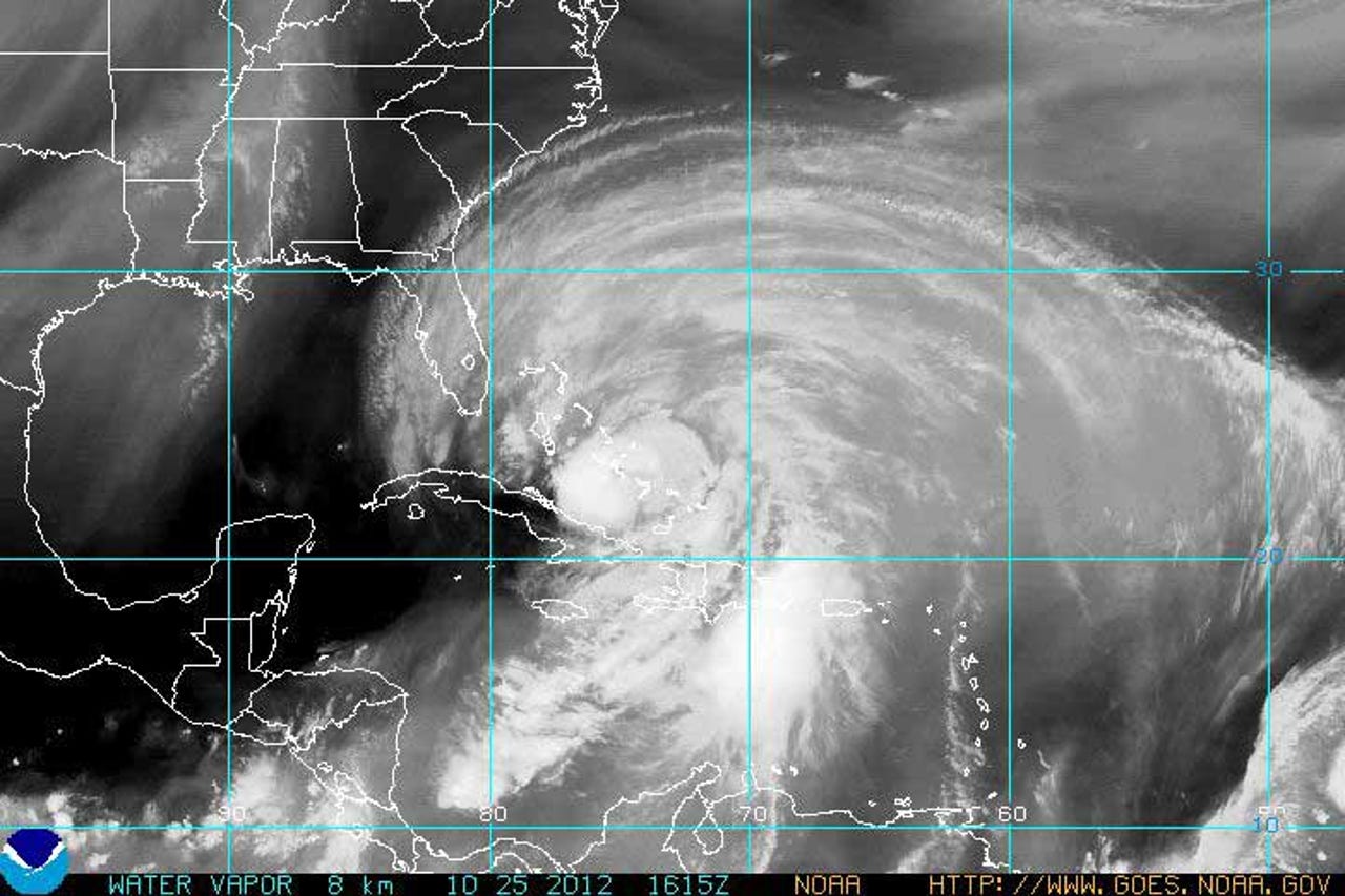
The best advice, prepare for the worst Hurricane survival apps to keep you safe from the storm and Apps for an emergency. IT departments should prepare for loss of power, damaged buildings and euipment, and a scarcity of workers. Here's a 10/25 image from NOAH of the water vapor from hurricane Sandy.
This map shows the five day estimated path for hurricane Sandy as of 10/25. Today's forecast is almost identical. Rainfall could be between 6-12 inches.
Sandy could affect an area from the Carolinas to Boston and is expected to reach Canada.
Here are the current wind speeds from Sandy.
NASA is following the storm closely. Here is an image from the Modus satellite as Sandy ran through the Bahamas.