Images: New visions from Google Earth

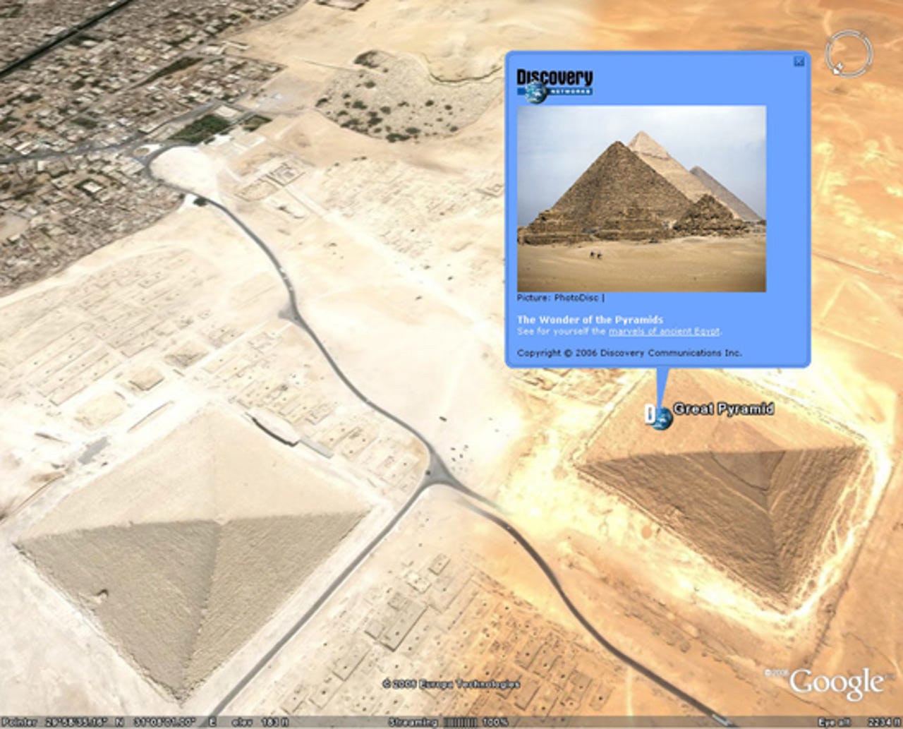
Great Pyramids
Content on places, such as the Great Pyramids shown here, will feature three- to five-minute clips of existing Discovery Network nature and travel channel content.
Taj Mahal
Partners with Google Earth include the United Nations Environment Program, the Discovery Network, the U.S. National Park Service and the Jane Goodall Institute.
Grand Canyon
The National Park Service has supplied information on over 10,000 trails at 58 parks.
Yosemite
The National Park Service information includes red markings directly overlaid upon satellite images of the actual trails, as well as photos of select vistas and general park information, according to Hanke.
Rondonia
Google Earth maps of the world's environmentally significant locations will feature before and after satellite images originally published by the United National Environment Program as a coffee-table book.
Updating
Google Earth's Kilimanjaro geographical point, for example, now includes a U.N. Environment Program icon. It brings people to a 1976 satellite image of the snow-capped mountain (left), as well as a modern day image sans snow (right). People can view the significant change by using a timeline bar that transitions between the images.
The Jane Goodall Institute
The Jane Goodall Institute, famous for its studies on chimpanzees, will make photos and blogs by scientists available to the public via Google Earth.
Itsukushima Shrine
More information on the Itsukushima Shrine in Japan is available from the Discovery Network.
Aral Sea
Here is Google Earth map of the Aral Sea with additional information provided by the U.N. Environment Program.