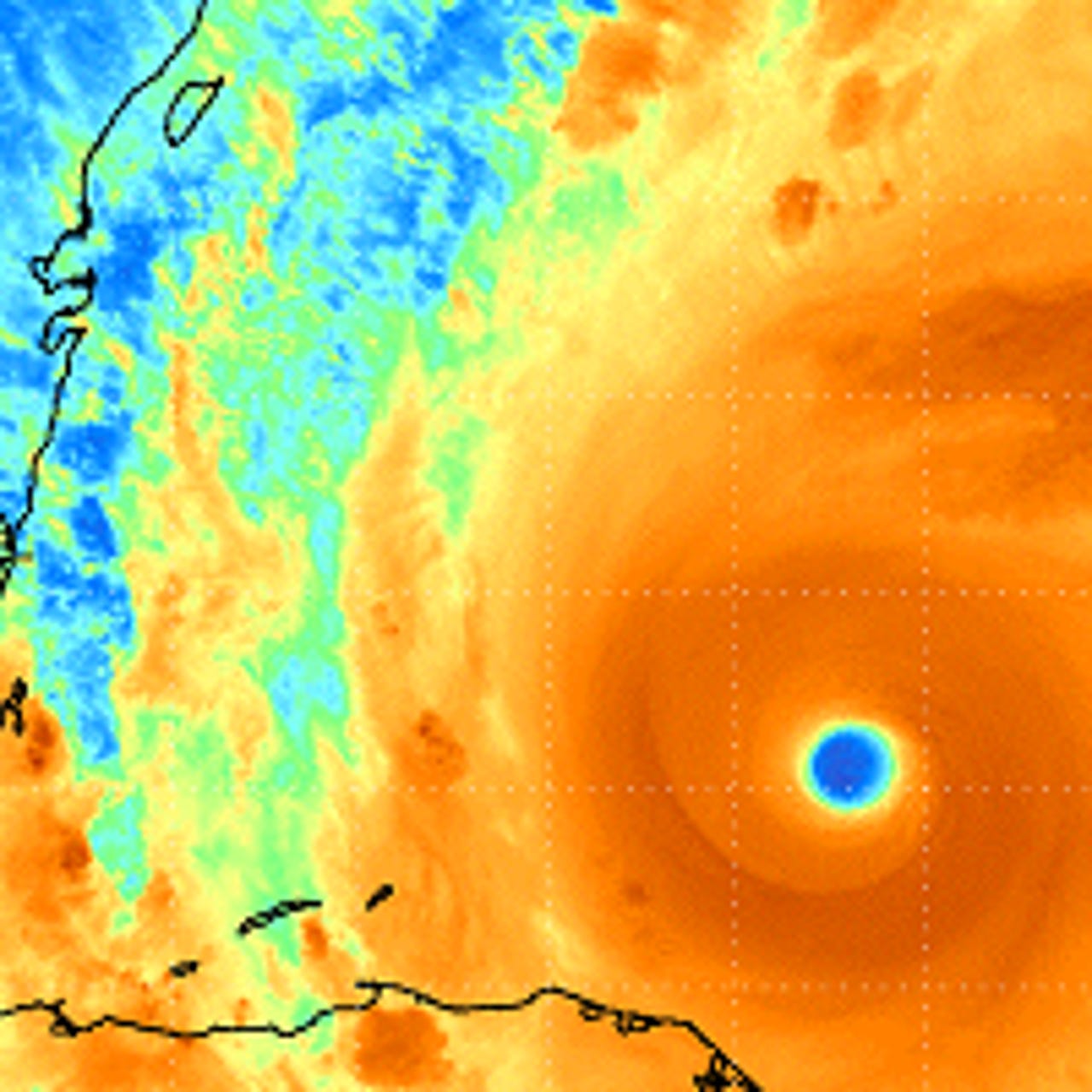
Surviving Sandy: Staying safe in the storm


Hurricane Tracker
Hurricane Tracker provides you with the latest information about tropical cyclones in both the Atlantic and Pacific.
1Weather
1Weather: Real-time global forecasts & alerts
Flight Track pro
See flight details on zoomable maps or get real-time departure info, delays and gate numbers at a glance. Full international coverage means you can track all your flights worldwide. Updates on cancellations and help to find an alternate flight.
Hurricane Hub
The Hurricane Hub is a comprehensive guide to hurricane season, whether you live in an area impacted or if you're just interested in major storms.
My Radar Weather Radar
Displays animated weather radar around your current location, allowing you to quickly see what weather is coming your way. Animated weather, allowing you to see if rain is headed your way.
Additional options include weather warnings and alerts, complete with push notifications, to warn you of severe weather in your area.
Hurricane Monitor
Hurricane Monitor keeps you up to date with USGS Weather Service data. Track hurricanes around the world in almost real-time. Data for the U.S. is gathered up to the minute.
Megabus USA
Official app for tracking your next Megabus trip. Enter the details of your trip to find your Megabus departure time. Stop directions are provided for each City serviced to ensure you're at the correct location awaiting your Megabus.
Hurricane Net
Hurricane Warning is your full featured app for not only Hurricanes but local radar, storm reports and damages and local detailed weather forecasts. It uses live data to create up to the minute maps.
Weather Satellite
Weather Satellite provides the most up to date weather images for clouds and wind taken from orbiting satellites. U.S. high-lows, temperatures, warnings, water, and hurricanes. Atlantic turbulence east and west bound.
Hurricane software
Track Hurricanes On Your Windows Phone. Get distance between your location and each coordinate of the storm.
Also available for Android
Flight Tracker
Utility for tracking commercial or general aviation flights anywhere within United States airspace.
Enter an aircraft tail number or an FAA flight ID, and a tracking map of the aircraft and its current position appears. To find flights out of a specific airport, users can enter a valid 3 or 4 letter FAA airport identifier, and a listing of arrivals and departures in and out of that particular airport will appear.
Hotel tonight
Last Minute Deals on Hotels
Hurricane - American Red Cross
Be ready for severe weather with Hurricane by American Red Cross. Monitor conditions in your area or throughout the storm track, prepare your family and home, find help and let others know you are safe even if the power is out – a must have for anyone who lives in an area where a hurricane may strike or has loved ones who do.
Also for iPhone
Hurricane Tracker
Complete tracking maps, everything from the NHC, exhaustive invest (Tropical Wave) info, NOAA Weather Radio, forecaster Audio/Video updates, real time feed (as it's happening) & detailed Push Alerts for: New storms, TS/Hurricane warnings & other changes. Storm history, checklists, over 65 images & animated maps
The Weather Channel
The Weather Channel provides you with the most accurate and relevant weather information whenever, wherever, and however you want it. With over 200 meteorologists and ultra-local forecasting technology provides you with information you need to plan the best day possible.
Hurricane Tracking Center
Stay informed about the latest tropical systems in the Atlantic and Caribbean. Get the most recent maps and forecast details about active storms.
iFly Airport guide
iFly Airport Guide provides quick-to-access, in-depth details to over 700 commercial airports worldwide. Some features can be used off-line to plan your airport transit while you are still in flight.